High-resolution Aerial Imagery and Mapping
Cutting-edge Technology and Scientific Expertise
Knowledge-led Surveillance and Inspection Technology
DCS has provided customers with cutting-edge geospatial data and products. During our journey, we have earned a reputation as an unbiased consultant who identifies the right data to solve customer’s pain points and help them meet specific project requirements. Our highly-trained and skilled staff of photogrammetrists, programmers, and imagery scientists draw upon their intense experience as well as access to a multitude of data types from the top vendors around the world. We offer various selection of geospatial products worldwide including satellite imagery, aerial maps, digital elevation model (DEM) data, vector, and lidar data, topographic maps, and more.
Solutions
Remote Sensing
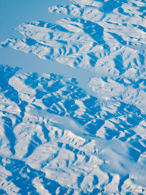
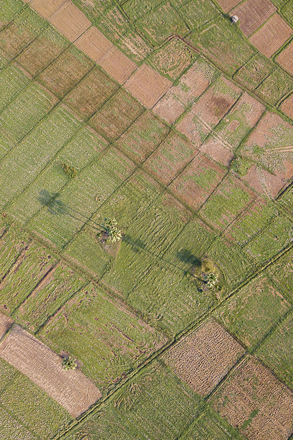
DCS’s remote sensing imagery team has a proven track record of working with remotely sensed data from a range of satellite sensors, combined with imagery collected by our own fixed-wing and rotary UAVs. Our experts work on macro level application such as land use planning, watershed management, natural resource management, wasteland mapping, corridor mapping for industrial zones, dam site identifications and livelihood development.
Remote sensing capabilities offer essential services for a range of applications, including:
- Satellite, aerial and UAV imagery interpretation and classification.
- Multispectral, hyperspectral, Radar and LiDAR imagery processing, correction and classification.
- Land cover classifications..
- Tree species classification.
- Agricultural mapping and stress detection..
- Mining and construction surveying..
Photogrammetry Services
We apply innovative aerial data acquisition solutions, DCS creates Earth Imaging, which can be used for mapping, GIS creation and Terrain Modeling for all types of businesses.DCS acquires accurate images of the Earth from a host of sources, such as Aerial Photography, Laser Photography and Satellite Imagery. We deal in a complete range of photogrammetric services for Municipal Mapping, Utilities Mapping, Road and Highway Planning, Cadastral Mapping, City Modeling, etc. Our services include consulting, project planning, software application development, image acquisition and processing, data conversion and integration. DCS experienced extensive success in photogrammetric project planning and execution in its previous projects.
Photogrammetric Solution and Services offered:
- Earth Imaging Services
- Orthophoto
- Triangulation – Orientation and Adjustment of a Block.
- Cartography – Map Finishing and Publishing
- Stereo Data Collection – Feature Mapping.
- Thematic Mapping using Satellite Imagery.
- Terrain Modeling and 3D Visualisation.
- GeoSpatial Services for Photogrammetry and Remote Sensing.
LiDAR
DCS’s LiDAR data service provides the ability to create an extremely detailed digital twin from a single capture source, our data contains accurate location and height-features such as houses, power lines, and roads are represented in 3D, exactly as they appear in the real world. We offer LiDAR data management, mapping, data processing, and feature extraction services. With proven methodologies and deep expertise in working with high-resolution imagery and LiDAR datasets, we enable our customers to save their time.money and less site visits while mitigating the risks.
DDCS has delivered LiDAR services to multiple industries including transportation, utilities, government, energy, telecommunications, mining and more.
Key LiDAR services include:
- Digital Elevation Model
- Land Use Classification
- Feature Extraction like buildings, trees, roads, roadside feature, power lines etc.
- Stereo Data Extraction – Feature Mapping

Our Customers
Trusted by esteemed brands.
Our clients are our top priority, and we are committed to providing them with the highest level of service.